Southeast Montana’s Big, Open Spaces are the Perfect Place for an Escape: Part I
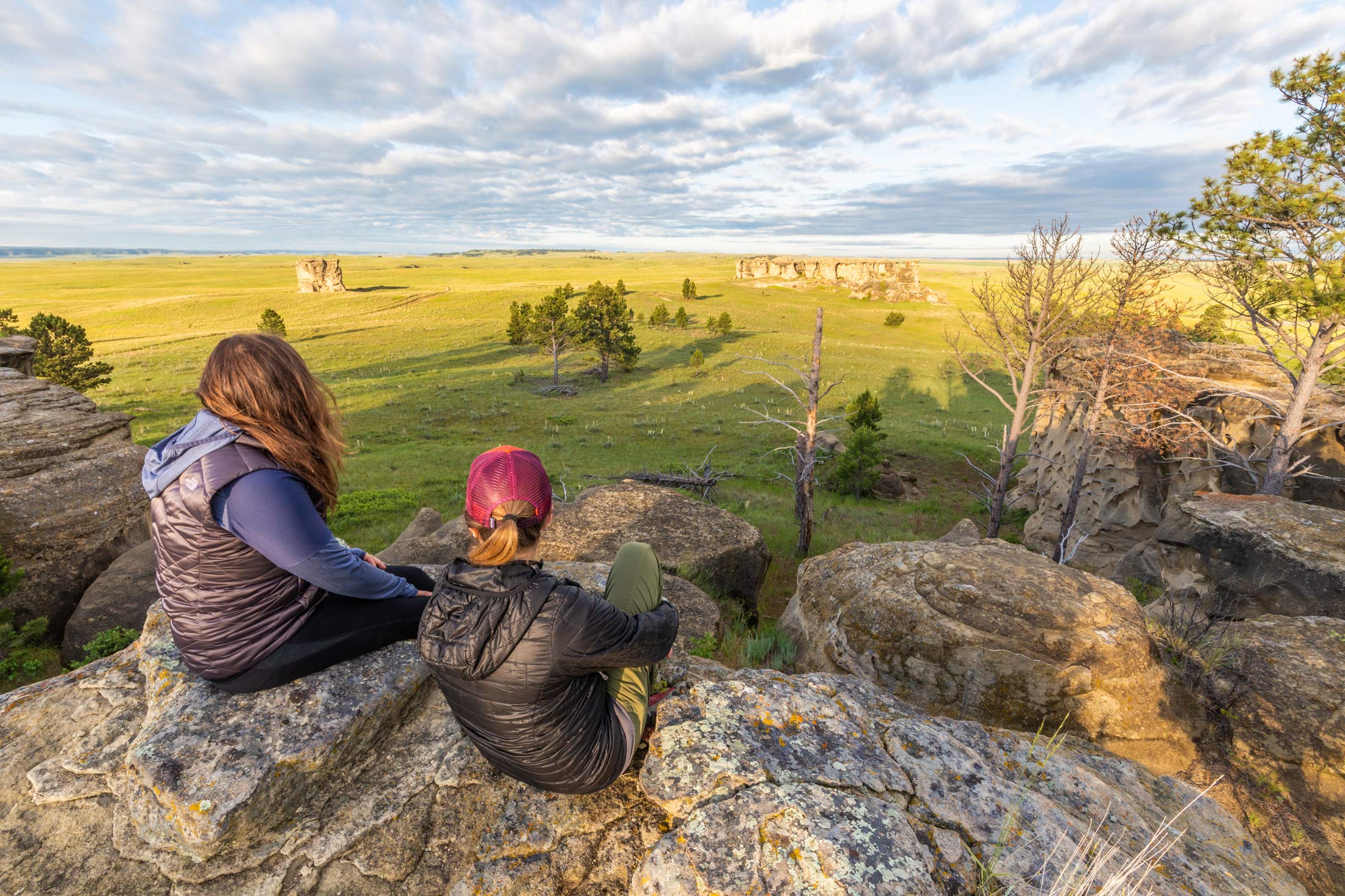
There are more than 32,000 square miles of land in the Southeast Montana region. That’s a lot of land, and a big chunk of it is dedicated to public access space for all to enjoy. National forests, rivers, state parks, national monuments and more dot the landscape, each as unique as the land they cover. These places are a great place to get out and stretch your legs. But with so many to talk about, we can’t fit them all in one spot. Here you’ll find stories and information on public recreational land, national forest land, lakes, rivers and fishing access sites.
Know before you go: Seasonal closures can affect access at some locations—check conditions before you hit the road.
Public Recreational Land
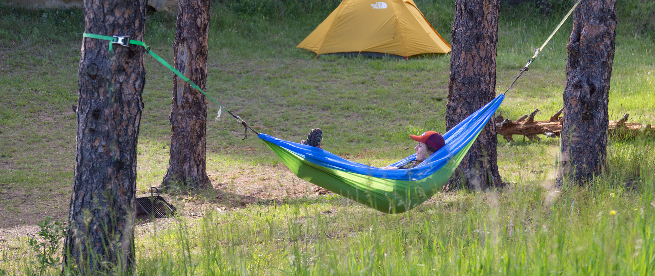
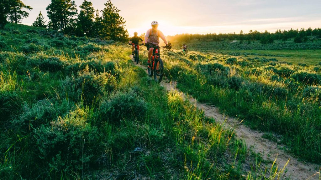
Where to begin? Hiking, biking, motorsports, camping and more outdoor recreational activities are waiting for you on Bureau of Land Management land. The BLM is a government agency under the US Department of Interior. They’re responsible for administering public lands. The BLM oversees more than 40,000 acres of recreational land in Southeast Montana, making it a dream come true for those looking for a little bit of space to themselves. There’s a lot to cover so be prepared to spend days or weeks exploring all of the places.
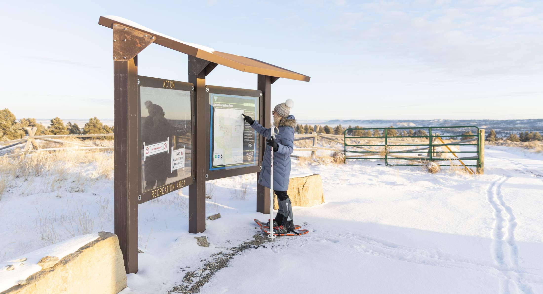
Looking for somewhere to take your off-road vehicles? We suggest the Shepherd Ah-Nei Recreation Area, South Hills TMA, or the Glendive Short Pine OHV Area. There are plenty of places to access the rivers in this region, from the Yellowstone to the Musselshell. Head to Asparagus Point, Matthews Recreation Area, Howrey Island Recreation Area, the Dean S Reservoir or the Power River Depot Recreation Area to find a spot to fish or watch the rivers flow. Exploring some of the most undeveloped land in these parts may require something more than just your walking shoes. Take horseback rides through the Acton Recreation Area, the Moorhead Recreation Area or the Pumpkin Creek Ranch Recreation Area. But, if you do have your hiking shoes they’ll come in handy on trails across the region at the Sundance Lodge Recreation Area, Strawberry Hill Recreation Area, Calypso Special Recreation Management Area or Four Dances Special Recreation Management Area. Make sure to check site conditions through the BLM before heading out.
Fishing Access Sites
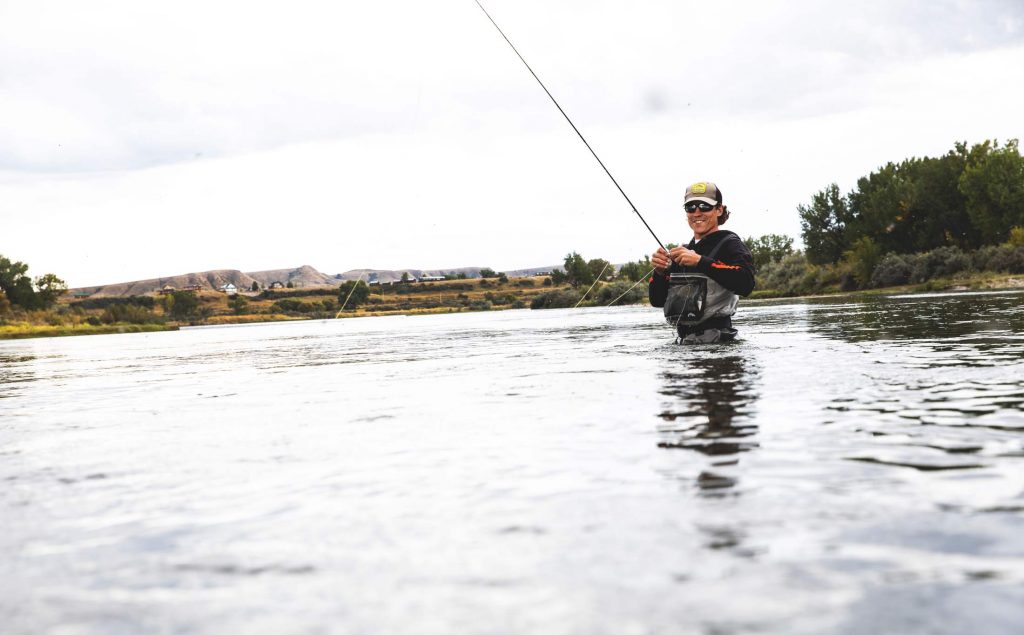
With rivers aplenty in the southeast part of the state, there are numerous options for fishing. There are more than 30 public access sites scattered across the different rivers in Southeast Montana. Visit Montana Fish, Wildlife, & Parks (FWP) website here to find fishing access sites, as well as information on the types of fish in the water and allowable boats. Hoping for a little bit of insider’s knowledge on the mysteries of the waters? Book a trip with an outfitter or guide who can help find your new secret spot.
Lakes
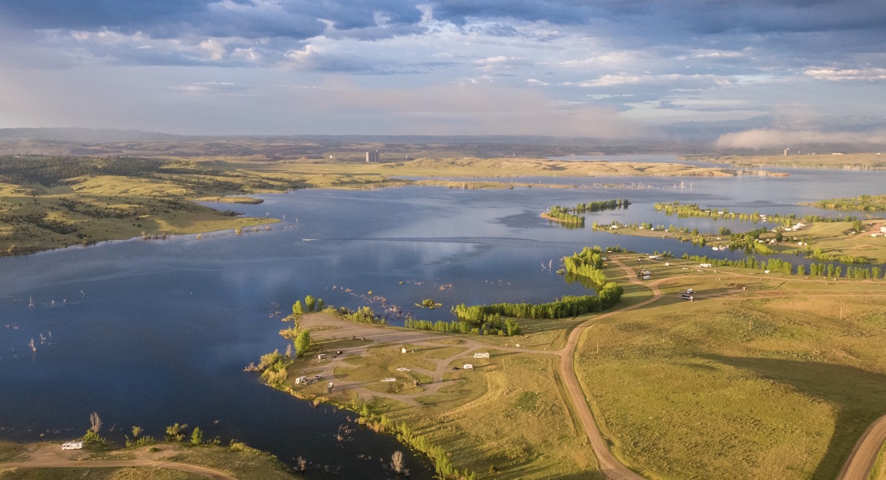
Whether you’re looking for a quiet place to fish or wanting to take the boat out for a fun day, there are several lakes in Southeast Montana that will fit your needs. Lake Elmo in Billings and Spotted Eagle Recreation Area in Miles City offer swimming, non-motorized boating and fishing opportunities. The Arapooish Pond near Hardin and Castle Rock Lake outside Colstrip offer a variety of fish species for you to try your hand at catching. Motorized boats aren’t allowed on either, but the Arapooish Pond does offer access to the Bighorn River. Bring your own boat here, or rent one from the OK-A-Beh Marina to explore the narrower channels along the canyon, boasting 1,000 foot high cliffs.
Baker Lake is a hidden gem in Eastern Montana. Fully stocked with fish, new docks, a pier and swimming beaches make this spot a perfect place to enjoy a warm day. If you’re looking for somewhere to sit and observe the beauty of nature, try Branum Lake. The lake is used by the Miles City Fish Hatchery to support fish restoration projects around the state.
Major Rivers
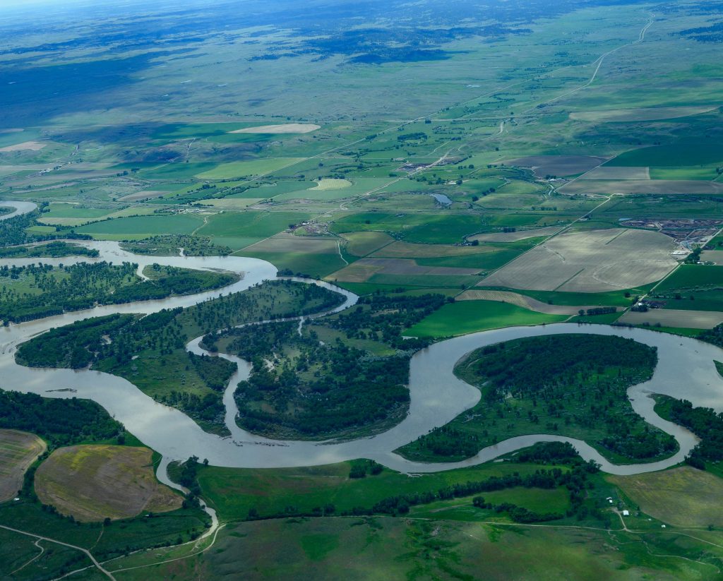
Southeast Montana boasts one of the greatest treasures in the United States. The Yellowstone River is the longest undammed river in the lower 48 states. More than 300 of its nearly 700 miles run from just west of Billings to the Montana/North Dakota border. Lewis and Clark followed the river from the present-day border of North Dakota and Montana west toward the mountains outside of Laurel and beyond. Trace history while enjoying the beauty of the beastly river. Hiking, camping and fishing are all popular activities along the river.
A tributary of the Yellowstone, the Bighorn River takes shape near Custer. Much of the river runs through the Crow Reservation. Read the story about why the river got its name here from the Crow people and plan to check out the fly-fishing and cave-like feeling of the Bighorn Canyon National Recreation Area. This area is known as a sportsman’s paradise with active trout and seasonal waterfowl hunting. Check out the nearby town of Fort Smith where there are plenty of guides and outfitters to help with your expedition.
The Powder River is another tributary of the Yellowstone. It begins in Wyoming, weaving through the Bighorn Mountains and is joined by the Little Powder near Broadus. It flows through the prairies of southeast Montana, finally joining the Yellowstone near Terry. The river was named by settlers in the early 1800s because the sand is so fine, it resembles powder or dust when it blows in the wind and dirties the water when it lands. Take a day to fish for channel catfish at the Little Powder River fishing access site, a primitive, wide-open site.
The Musselshell River is all Montana’s. Starting in the western part of the state and ending in the northeast, this waterway is a sanctuary for anyone looking for some peace and quiet. Winding its way across the landscape, the river is a popular fishing spot for locals. The river is popular for brown trout fishing, and taking in the peace and quiet of the farmland surrounding much of the stream. The Tongue River is another tributary of the mighty Yellowstone, with its mouth near Miles City. This river’s name also originates with American Indians, although there are two different stories on how it became the Tongue River. One story originates from Native Americans, who said it looked crooked like the white man’s tongue, and couldn’t be trusted. The other story says the Native Americans named it for a tongue shaped formation of trees and rocks near its origin. Located in a sparsely populated area with a rugged landscape, the Tongue River Reservoir State Park near Decker hosts camping, boating and fishing activities.
National Forest
The Custer Gallatin National Forest stretches from southcentral Montana into South Dakota. The two districts situated in the southeastern part, the Ashland and Sioux Ranger Districts, have more than 524,000 acres of land combined. The Ashland District west of Broadus is rich with wildlife, like mule deer throughout the forest. The district boasts one of the largest grazing programs in the country throughout the multi-colored buttes and grasslands. Each summer, a free play by Montana’s Shakespeare in the Park is hosted at the Poker Jim Butte picnic area.
The Sioux District south of Ekalaka offers a dive into the history of archaeological and paleontological resources in the area. The mesas of ponderosa pines and rolling grasslands are also home to one of the largest populations of merlins, a small falcon. Rent out the Diamond Butte Lookout Cabin during the summer to take in the views of the surrounding countryside. Both districts offer hiking, horseback riding, fishing, hunting, camping, and mountain biking. This is just the beginning of the beauty of Southeast Montana’s outdoor spaces. Stay tuned for part two of why Southeast Montana’s Big, Open Spaces are the Perfect Place for an Escape.
More from our blog:
