Road Trip to 6 Native American Cultural Sites
Southeast Montana is steeped in rich history and offers stellar educational, cultural and recreational sites, including some that remain significant to the indigenous people who first called this region home. Immerse yourself into the many historic sites out here by reserving a guided history tour, visiting storied battlefields, viewing petroglyphs and walking in the footsteps of the last Crow tribe chief.
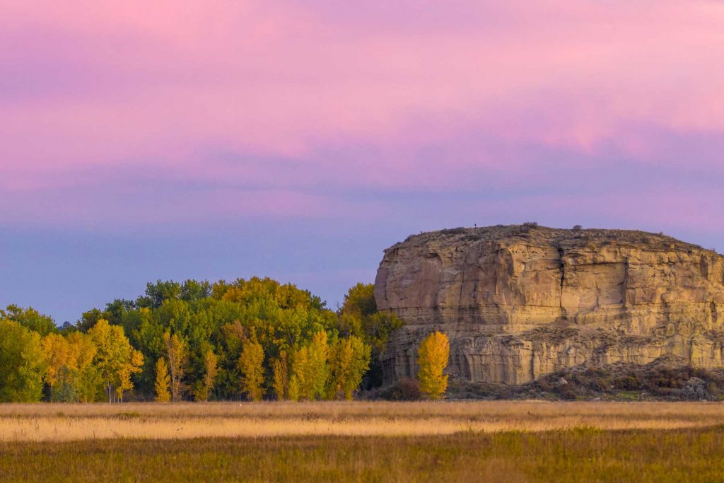
Medicine Rocks State Park
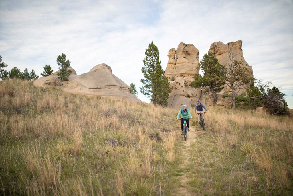
Outhere, natural beauty blends with rich Native American heritage. Striking sandstone pillars of windworn, haunting hoodoos seemingly rise out of the ground. These rock formations are carved with centuries of inscriptions, echoing the stories of indigenous people. If you visit during sunrise or sunset (and you definitely should), you’ll witness the amazing tones of yellow, orange and red reflect on the pillars.
Numerous artifacts such as pottery, tools and teepee rings have been found here and it is believed that several Plains Indian tribes traveled through or habituated here long-term including the A’aninin, Arikara, Sioux, Cheyenne, Crow and Mandan. The area is known as Inyan-oka-lo-ka to the Crow tribe, meaning “rock with a hole in it.” To them it was considered a sacred place where they left offerings of beads, paints and tobacco in addition to a place where they would seek visions and dreams. After your visit to the park, stop by Carter County Museum in nearby Ekalaka to learn more about the cultural significance of the Medicine Rocks, and how the town received its name.
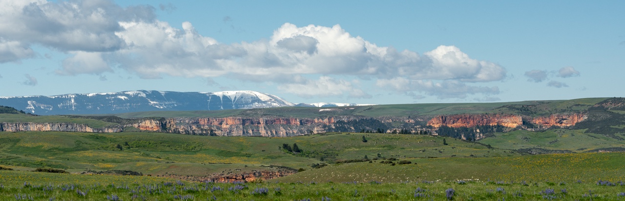
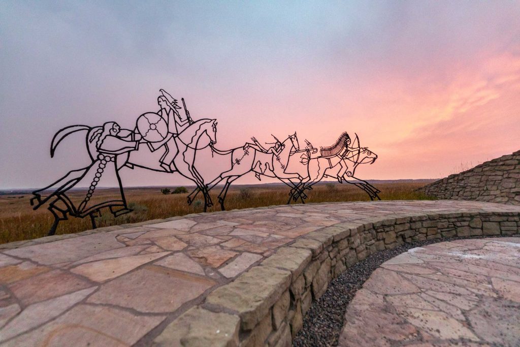
Rosebud Battlefield State Park
Just eight days before the renowned Battle of Little Bighorn, 1,500 Sioux and Northern Cheyenne warriors forced 1,000 of General George Crook’s troops to withdraw at Rosebud Creek. The Battle of the Rosebud is known to be the largest Indian conflict to ever occur in America and was a significant victory for the Natives defending their traditional land. One meaningful story from the battle is about “The Girl Who Saved Her Brother” where Buffalo Calf Road Woman rode out onto the battlefield to carry her brother, Chief Comes in Sight, back to safety. This heroic act initiated the Cheyenne to rally at a crucial point in the battle.
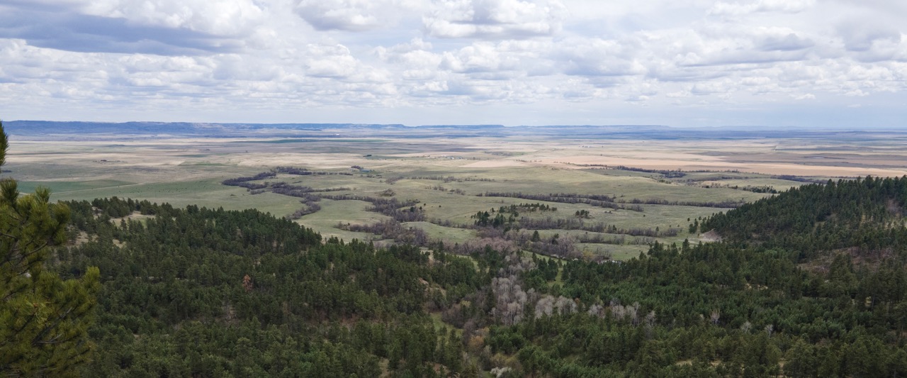
Even years before the battle took place, Native Americans used Rosebud Valley for hunting and gathering. Here, there is a petroglyph marked cliff once used as a buffalo jump named Kobold Buffalo Jump. Walk in the footsteps of General Crook’s troops by trekking to the top of Crook’s hill where they started their battle and then wander over to Conical Hill to take in the perspective of the Native American warriors. Today the large 3,052-acre state park remains very much the same as it was during the late 1800s when the battle took place. Much of the area is used for ranching, with the land for the state park set aside for reflecting the history and sacredness of the place. The open acreage provides excellent wildlife watching opportunities as well as hiking, picnicking, cross-country skiing and hunting.
Little Bighorn Battlefield National Monument
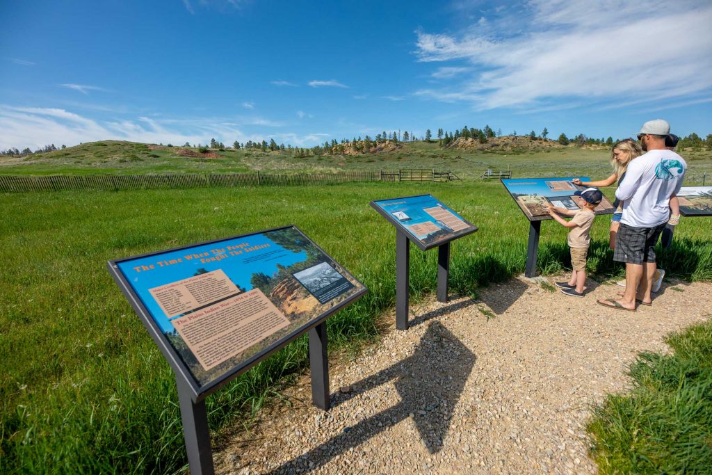
Just outside of Crow Agency sits one of the most significant historical landmarks in the West. The Little Bighorn Battlefield National Monument memorializes where Plains Indians defeated U.S. military forces that were enforcing reservation life. Many know the battle as Custer’s Last Stand, even though Custer and 268 other soldiers died. The very soil seeps with intense passion from the intensity of the American Indian warriors who fought for their land and nomadic way of life and the U.S. soldiers who persisted with incredible loss in the two-day battle. In 2003, the “Peace Through Unity” Indian Memorial was unveiled to commemorate the tribal warriors who fought in the fateful battle to keep their spirit and culture alive.
On your visit, stretch your legs on the 0.5 mile Deep Ravine Trail to view the marked casualty sites of those who died in battle or drive the 4.5 mile tour road to the Reno-Benteen defense site where 355 cavalry men survived the Battle of the Little Bighorn. Ranger programs are available throughout the summer, along with bus tours that go between the two battlefields. Or book a private tour with Indian Battle Tours to get native perspective during the tumultuous time in history. Apsaalooke Tours offer one-hour guided tour on their mini-coach, provided with a captivating interpretation of the events leading up to the battle. For entry into the park the National Parks Service requires either a National Parks Pass or a $25 fee.
Pompeys Pillar National Monument
Rising nearly 200 feet high along the banks of the Yellowstone River, Capt. William Clark, of the Corps of Discovery, famously carved his name in this rock pillar on July 25, 1806. But he was certainly not the first to utilize this “communication tower” over the years. Prior to Capt. William Clark, Native Americans left behind other etchings, petroglyphs and pictographs. The Crow often used the area around the Pillar as a campsite during travels for hunting, trading and war. Archaeological evidence also suggests that the Pillar was also a place for rituals and religious activity.
Today you can retrace the footsteps of the Native Americans who camped there and of the Lewis and Clark expedition while viewing the thousands of etchings and markings on the PillarOr, climb to the top of the Pillar for a spectacular view of the Yellowstone River Valley as Capt. Clark did. Make sure to spend time at Pompeys Pillar Interpretive Center to learn more about the Corps of Discovery, including their native guide, Sacagawea and her son Pomp, native culture and the legacy of the Pillar since the 1800s.
Pictograph Cave State Park
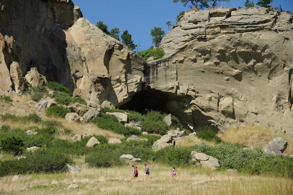
Enjoy the unique opportunity to investigate the mystery of this remarkable site. With over 100 pictographs—some as old as 2,000 years old—the interpretations of the images are still up for debate. Indigenous hunters who used the caves to camp, left rock paintings of animals, warriors and rifles. The park’s three main caves, Pictograph, Middle and Ghost, are connected by a 0.75-mile trail for visitors to explore. Remember to bring a pair of binoculars with you on your trek to study the pictographs a little closer and for the bird watching opportunities the park has to offer. Stop in the Visitor Center for interpretive displays of the pictographs and artifacts excavated from the site.
Chief Plenty Coups State Park
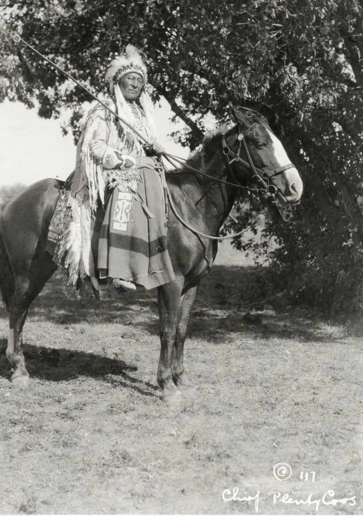
Situated within the Crow Reservation near the base of the Pryor Mountains, this park was once the home of Chief Plenty Coups, the last traditional tribal chief of the Apsáalooke people. Plenty Coups' log home, farmstead, sacred spring and general store remain as evidence of the chief's remarkable life and his efforts to bring reconciliation among two cultures. He was among the first Apsáalooke to give up traditional nomadic ways for a life of farming and seeking peace, which he did until his death at age 84.
The 195-acre park is known for its serene calmness which can be experienced on a 0.75-mile trail along Pryor Creek. We recommend stopping in at the Visitor Center and utilizing the picnic area for a meal with your family as it is a beautiful space to pause and reflect on the life of Chief Plenty Coups.
Get started planning your next road trip out here and discover the stories of indigenous people whose traditional land we now admire. If you are looking to visit more historical and cultural sites we suggest you follow our Trail to the Little Bighorn map for a chronological trip re-creation on the months leading up to the Battle of the Little Bighorn or plan your trip with our Follow the Story map complete with museums, visitor centers, national monuments and state parks in the region.